Western Glaciers Shrink by 35% Since 1950, New Census Shows
A comprehensive inventory by Portland State University and the U.S. Geological Survey reveals that nearly one-quarter of the region's glaciers have vanished entirely.
By Rahul Sato ·
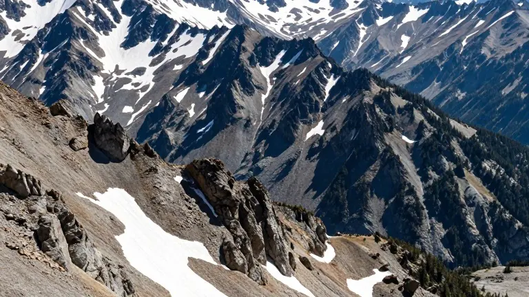
The total area covered by glaciers in the western United States has shrunk by 35% since the 1950s, according to a new study published in the journal of the National Academy of Sciences. The research, led by Portland State University geology professor Andrew Fountain, marks the first comprehensive inventory of the region's glacial cover. It documents a loss of 33% in total volume, a reduction that would average out to a 38-foot drop in height for each remaining glacier.
The data set includes 1,331 glaciers across California, Colorado, Idaho, Montana, Oregon, Washington, and Wyoming. Researchers compared current measurements to historical U.S. Geological Survey mapping data recorded between 1950 and 1980. In 1950, the West held more than 1,450 glaciers. The new analysis finds that nearly one-quarter of those original glaciers are no longer present.
The study builds on earlier work that focused on 612 federally recognized glaciers. That prior analysis determined that 50 of those designated sites no longer met the geologic definition of a glacier. Geologists require a glacier to cover at least 25 acres. The earlier review also noted that two federally recognized glaciers in Washington and Wyoming had disappeared completely.
Washington state contains the majority of the region's ice, holding 89% of the total glacial volume in the lower 48 states. Mount Rainier alone possesses more glacial cover than all other western states combined. However, the Cascade Range glaciers in Washington and Oregon have lost 13% of their volume over the last several decades. The decline is steeper in California, where the Sierra Nevada mountains have lost 77% of their glacial volume.
Fountain described the losses as tangible evidence of continued climate warming. He noted that smaller glaciers reduce the flow of cold water into high alpine streams and riparian habitats. These water sources are critical for communities during the hot, dry months of late summer when snowmelt provides the primary water supply.
Current conditions reflect this long-term trend. Snowpack levels in the Northwest and the Cascade Range are among the lowest recorded since tracking began in 1985. The region also experienced its warmest fall on record last year, according to National Oceanic and Atmospheric Administration data.
The study confirms that global average temperatures have risen 2 degrees Fahrenheit since the 1850s. This warming is driven by the burning of fossil fuels, which releases greenhouse gases that trap heat in the earth's atmosphere.
Source: Portland Tribune