Snohomish County urges residents to prepare for El Niño flood risks
Officials warn that warm temperatures and rapid river rises could trigger flooding despite milder overall winter forecasts.
By Idris Robinson ·
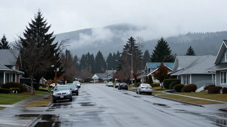
Snohomish County residents should prepare for flood conditions this winter, even if an El Niño pattern brings milder temperatures. County officials released a list of resources on Monday to help residents and business owners plan for potential water damage.
Lucia Schmit, director of Emergency Management, explained that local geography creates specific risks. Snowmelt combined with increased rainfall can cause sudden spikes in river levels. Schmit described the local waterways as flashy, meaning they rise and fall quickly. She noted that a small shift in storm patterns could dump all expected rain into a single basin. The Wallace River joins the Skykomish River near Sultan. The Skykomish then meets the Snoqualmie River to form the Snohomish River. Schmit said that while the main river offers some predictability, its tributaries are highly volatile.
Maddie Kristell, a National Weather Service meteorologist, confirmed that El Niño winters generally feature warmer temperatures and more rain. She stated that this weather pattern shifts the storm track toward the southern United States rather than the Pacific Northwest. Kristell added that atmospheric rivers, which caused record flooding in December 2025, are not currently in the forecast. However, she warned that less snow and more rain over time could still lead to flooding. The melting of accumulated snowpack during warm systems is a key factor in rising water levels.
The county experienced severe flooding last year. At the peak of that event, 36,000 acres, or 56 square miles, of the county were underwater. More than 800 people were ordered to evacuate, and 52 roads were closed. Residents and business owners reported over $5.5 million in damages. Public infrastructure suffered $18 million in damage. Schmit pointed out that past flood events do not guarantee a quiet season. She stated that she has served in her current role for four years and has witnessed two record flood events during that period.
Schmit acknowledged that climate change introduces uncertainty into weather predictions. She said that science provides likelihoods rather than certainties. Because of this, officials recommend that residents check their specific risk levels. The Department of Emergency Management and the Department of Conservation and Natural Resources suggest using the Snohomish County hazard viewer online. Users can enter their addresses to determine if their home, workplace, or school is located in a floodplain. They can also check if their travel routes cross flood-prone areas.
The county public safety hub at snoco.org/safety provides information on sheltering and evacuations. Residents can sign up for alerts via phone or email. A disaster preparedness checklist is available at snohomishcountywa.gov/719. This guide helps individuals create disaster kits and plan alternate routes. The checklist is titled Individually Prepared, Together Resilient.
Farmers can rehome livestock at the Evergreen State Fairgrounds in Monroe during an evacuation. More information is available at evergreenfair.org/292. For real-time data, the county maintains a flood information system at snohomish.onerain.com. Residents with clogged drains or culverts can call 425-388-7500 for assistance.
The National Weather Service typically predicts heavy rain three to eight days in advance. Kristell said this lead time allows for preparation. Officials urge residents to use the available tools to assess their personal exposure to rising waters before the winter season fully begins.
Source: Everett Herald